


Well Level Data (BGS)
The National Well Record Archive held by the British Geological Survey is a collection of over 105 000 records of springs, water wells and water boreholes in England, Wales and Scotland. The majority of the original records are available as borehole scans.
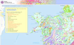
A map index of the National Well Record Archive is available by searching the BGS GeoIndex. It is complemented by the WellMaster database, which contains digitised data from the original records, categorised by geological data, water resource data, well construction and water quality.
Available datasets -
Data availability: Digital data can be viewed or downloaded immediately. Scanned and historical data can be viewed via the highly interactive BGS online viewers.
Charge: The majority of the data described above is available free for commercial, research and public use. However, some services are charged for.

 The Water Security Knowledge Exchange Portal supports the objectives of the