


Surface data
The lists below show spatial and time-series surface-related datasets.
Spatial
Canals Network Data (Canal and Rivers Trust)
A variety of canal-related data from the Canal and Rivers Trust including location of bridges, aqueducts, locks and other features. Can be used with the Centre for Ecology and Hydrology’s 1:50,000 watercourse network.
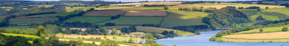
Catchment Boundaries (CEH)
Boundaries derived from CEH's IHDTM are available for all GB gauging stations within CEH’s National River Flow Archive. Boundaries can also be derived for almost any point on the UK river network. Hydrometric area boundaries are also available.
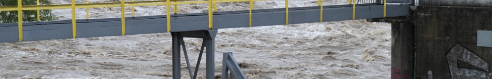
Flood - Live Warnings (EA)
The live flood warning map shows the locations where Flood Alerts, Flood Warnings or Severe Flood Warnings are in force.
Flood - Recorded Outline of Historical Events (EA)
The Historic Flood Map merges together all the individual flood outlines from rivers, the sea and groundwater springs, so that at any given location there is only one polygon covering it, even if the location has flooded multiple times.
Flood - Recorded Outline of Individual Events (EA)
Recorded Flood Outlines of Individual Events contains the records of historic flooding.
Flood Alert, Risk and Warning Areas (EA)
Three datasets from the Environment Agency covering England and Wales outlining areas of flood alert, risk and warning.
Flood defence - Capital Schemes (EA)
A dataset of areas that would benefit from new or the improvement of existing flood defence schemes as planned within the Environment Agency Medium Term Plan.
Flood Risk Maps (DARDNI)
Flood Maps (NI) is an interactive map-viewer that enables users to access the latest flood hazard information available from government for the whole of Northern Ireland.
Flood Risk Maps (SEPA)
The Scottish Environment Protection Agency’s maps show where flooding may happen across Scotland so that individuals and groups can take appropriate action.
Integrated Hydrological Digital Terrain Model (CEH)
A 50m grid interval DTM derived by the Centre for Ecology & Hydrology from 1:50,000 scale mapping from Ordnance Survey and Land & Property Services (previously OSNI). The IHDTM is comprised of five separate gridded datasets.
Time series
Biological Surveys - Freshwater and Marine (EA)
Datasets providing summary results for diatoms, invertebrates and macrophytes from samples taken for periods up to current year for England.
Flood Warnings Live Data Feed (EA)
Flood Warnings are provided by the constant monitoring of stations and forecasting flooding from rivers or the sea. The live feed provides a summary of flood warnings (Alert Warning and Severe) that are sent externally. The Flood Warnings Live Feed provides current status update of every Flood Warning Area in England and Wales.
Historic River Quality (EA)
Information regarding the presence, and abundance, of benthic invertebrate species at specific marine monitoring points.
Lough Level Data (DARDNI)
DARDNI monitors the levels of Lough Neagh and Louch Erne.
River and Canal Water Quality Indicators (EA)
The General Quality Assessment (GQA) Headline Indicator Scheme (GQAHI) was the Environment Agency's national indicator for water quality in rivers and canals in England and Wales.
River Flow Data (CEH)
National River Flow Archive time series of river flows measured at gauging stations throughout the United Kingdom, including peak flow (AMAX and POT data).
River Level Data (SEPA)
SEPA monitors water level at 392 sites throughout Scotland. The portal provides level data for the last few days for 335 of these stations.
Surface Water temperature Archive (EA)
This archive is a unique collation of the Environment Agency's water temperature data from more than 30,000 sites across England & Wales. The archive contains water temperature data (up to 2007) and site metadata.
Tidal and Sea Level Data (BODC)
The British Oceanographic Data Centre (BODC) make quality-controlled National Tidal & Sea Level Facility (NTSLF) data series available online as soon as they are processed for sites around the whole UK.
Water Quality Sampling (EA)
Two datasets containing detailed and summary water quality data for the UK are available.
 The Water Security Knowledge Exchange Portal supports the objectives of the