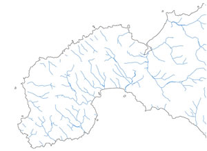
A continuous centreline network of rivers, canals and field drains for Great Britain. The Centre for Ecology & Hydrology’s 1:50,000 watercourse network was derived from Ordnance Survey 1:50,000 maps and was the first continuous digital river network to be produced for Great Britain.
The 1:50,000 watercourses has been used to define flow paths in CEH's Integrated Hydrological Digital Terrain Model (IHDTM), which in turn is used to define drainage paths in the Flood Estimation Handbook CD-ROM.
Supply format: Arc/Info interchange / GML / MITAB / OGC KML / Shape file
Data availability: Available under a click-through licence (straightforward and immediate registration). User defines area of interest and submits details that generates a quote request.
Be sure to check licensing details with licensor before use.
Charge: A charge is made for this data subject to quote details.
Sample available: Download


 The Water Security Knowledge Exchange Portal supports the objectives of the