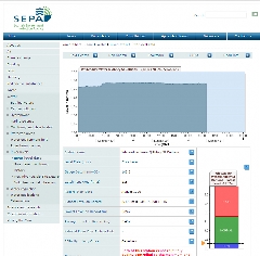
SEPA monitors water level at 392 sites throughout Scotland. The portal provides level data for the last few days for 335 of these stations.
Most of the stations are sited on rivers; however data from several tide and loch level recorders are also displayed.
River level data is collected at gauging stations using a variety of electronic sensors and data loggers. Many of the data loggers are connected to the telephone network, enabling SEPA to collect the data over the phone. Data from these telemetry stations is collected automatically once a day. Sometimes data is collected more frequently for operational reasons.
Supply format: Comma delimited .csv
Data availability: Subject to SEPA Terms and Conditions available on the portal.
Charge: No charge.
Sample available: Immediate download available.


 The Water Security Knowledge Exchange Portal supports the objectives of the