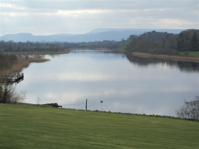
DARDNI monitors the levels of Lough Neagh and Louch Erne.
The Rivers Agency Hydrometric Section monitors water levels for rivers, sea and loughs at approximately 130 locations across Northern Ireland.
Some 80 gauging stations are situated in rivers, however, the most frequently requested levels are for Lough Neagh and Lough Erne, which are published online. The levels are monitored on a daily basis.
Supply format: Visual (no download options)
Data availability: See above.
Charge: No charge.
Sample available: N/A


 The Water Security Knowledge Exchange Portal supports the objectives of the