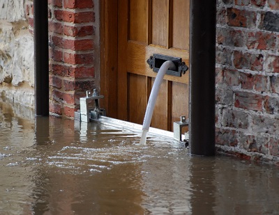
Three datasets from the Environment Agency covering England and Wales outlining areas of flood alert, risk and warning.
There three datasets are -
- Flood Alert - A Flood Alert Area is generally a large expanse of floodplain (up to and including the extreme flood outline which defines the Flood Warning Service Limit), within a catchment, sub-catchment or group of catchments, that is/are at risk from low impact flooding (from main rivers, ordinary watercourses and the sea).
- Flood Risk - Flood Risk Areas have been defined by Lead Local Flood Authorities, based on combining risk to people, critical services and commercial and public assets, and detailed flood modelling. These areas cover surface water flooding only. Groundwater, coastal, reservoir failure, water main and river flooding are not covered.
- Flood Warning - Locations within the Flood Warning Service Limit (FWSL) that represent a single or aggregation of Flood Warning Sub Areas (FWSAs) or Flood Warning Flood Risk Areas (FWFRAs) containing a discrete community at risk of flooding.
Supply format: Shape file / Tab / GML and other
Data availability: Available under the Open Government Licence (OGL).
Other conditions may apply and these are available via the download site.
Charge: No charge.
Sample available: Data can be downloaded immediately.


 The Water Security Knowledge Exchange Portal supports the objectives of the