
Samantha Broadmeadow
Forest Research
e: samantha.broadmeadow@forestry.gsi.gov.uk t: +44 (0)1420 526208


How can 'woodlands for water' be targeted most effectively?
The challenge
Woodlands are increasingly recognised as playing an important role in helping to meet the objectives of the Water Framework Directive, through reducing diffuse pollution from rural and urban sources and restoring the condition of riparian and aquatic habitats. Woodlands can also play an important role in ‘slowing the flow’, helping to reduce downstream flood risk.
However, opportunities for planting new woodlands are constrained by many factors, not least economics. It is important that woodland planting is targeted to the most effective locations, where it can generate the greatest benefits - but identifying such sites using conventional techniques can be difficult and time consuming.
The solution
Opportunity mapping has been developed by Forest Research to help identify the best locations for new woodlands and promote more integrated catchment management. The method uses Geographical Information Systems (GIS) and can be applied across a range of scales, from assessing opportunities for planting at a strategic national or regional level down to the practical catchment or farm scale.
The approach integrates a wide range of geospatial datasets, including soil characteristics, land use, designated sites, diffuse pollution sources and flood risk. Analysis of these datasets supports the targeting of preferred areas (where new woodlands could help), priority catchments (where new woodlands are needed to help) and priority locations (areas within priority catchments where planting would offer the greatest benefit).
Opportunity maps have been developed at a national scale for England, at regional scales for the Lake District, Midlands, Yorkshire and the North East, and at catchment scales for the River Derwent in North West England, Rivers Avon, Frome and Piddle in South West England, Rivers Clyde, Tay plus 13 other Priority catchments in Scotland, and Rivers Rhondda, Tawe and Dyfi in Wales. These are being used by local stakeholders to identify priority areas for woodland creation to deliver a range of water and other benefits.
Resulting benefits
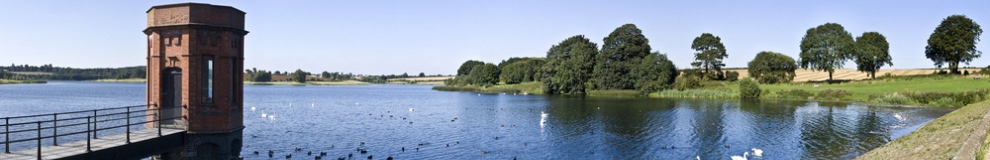
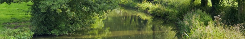
Some local examples of how the maps are being used include: to target areas for woodland planting in the Derwent catchment in Cumbria to reduce downstream flood risk, particularly to towns such as Keswick; in the Lake District National Park to help reduce sediment and nutrient loads to impacted waters such as Bassenthwaite Lake, in the Peak District to protect steep slopes, reduce rapid runoff and improve biodiversity (e.g. in the Moors for the Future’s Clough Woodlands project); and in the River Frome and Avon catchments in Dorset and Hampshire to improve the morphology and ecological functioning of designated riparian and aquatic habitats.
Future directions
The maps will continue to be updated and refined as new monitoring and modelled data become available. The approach will be extended to regions and catchments not already covered, and widened to incorporate other woodland values. The work is informing the new country rural development programmes and wider thinking on payments for ecosystem services.
Add Pingback