

How can ‘hidden’ supplies of water in soil be identified?
The challenge
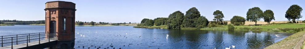
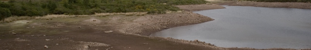
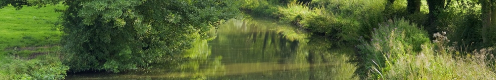
A large quantity of hidden potable water is stored in semi-natural landscapes such as upland peatlands, lowland grasslands and riparian habitats that are not well-characterised or understood.
Spatial information is needed to better understand the hidden water in these landscapes, and currently available satellite data cannot provide fine-scale information needed by water companies such as South West Water to make accurate assessments of areas in need of remediation and restoration as functioning blue water stores. Unmanned aerial vehicles (UAVs) are lightweight aircraft that can fly low and slow to collect fine spatial resolution data to potentially address this challenge.
The solution
As part of South West Water’s “Upstream Thinking” project, researchers at the University of Exeter have worked with Quest UAV Ltd to pioneer the use of unmanned aerial vehicles (UAVs) in surveying moorland catchment areas. The UAV can capture up to 200 images, at a rate of one per second, using built-in cameras that are sensitive to both visible and thermal radiation, allowing high levels of detail to be captured.
This groundbreaking work was named as overall winner in the Pennon Environmental Awards 2012, with Pennon Chairman Ken Harvey commenting “the judges commended this innovative technique and felt this could be applied by different industries, nationally and globally.”
With support from the TSB, the three partners are now continuing to collaborate in the development of fully operational water monitoring tools for deployment from UAV platforms. The project will develop a new method for spatially characterising
landscapes that contain hidden water supplies and reveal the complex nature of their patterns and processes. This method will utilise a fixed wing UAV, fitted with optical and thermal cameras so that very detailed pictures of the landscapes can be acquired, with a view to describing the spatial patterns of the hidden water resources, allowing the water storage capacity of these landscapes to be quantified.
Resulting benefits
Martin Ross, from South West Water, said: “Our Upstream Thinking Project is at the cutting edge of how water is managed in a sustainable way in the UK. This unmanned aircraft is going to help us collect evidence which will show whether mire restoration is succeeding in its aims, and is an extremely cost-effective way of collecting that data. We’re delighted to be working with the University of Exeter on this trial.”
Future directions
The platform being developed by the project will be called “Quest-Earth-Water”. Through the research undertaken by the team a new workflow for collecting and processing the data will be developed. The aim is to market the product widely to water companies, charities and other land management stakeholders across the UK and around the world once validation of the approach and its products has been achieved.
Add Pingback