


Groundwater information to support shale gas development
The challenge
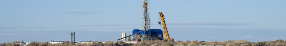
Exploitation of shale gas in the UK could have economic benefits, but before granting a permit the relevant regulatory authorities (e.g. the Environment Agency, Natural Resources Wales etc) needs to be satisfied that the activity will not cause pollution of groundwater.
Understanding the spatial relationships between shale gas rocks and overlying groundwater systems (aquifers) is essential if shale gas is to be developed in a safe and sustainable manner.
The solution
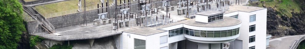
The British Geological Survey (BGS) is working with the Environment Agency (EA) to map the extent of potential shale gas source rocks and the Principal Aquifers in England and Wales.
This project, iHydrogeology, is using the new BGS 3D Geological Model of Great Britain, and the BGS/EA Aquifer Designation Dataset. The project is examining the full extent of each rock type, identifying where Principal Aquifers overlie shales, and estimating the vertical separation between the different rock types forming the aquifers and those with potential for shale gas.
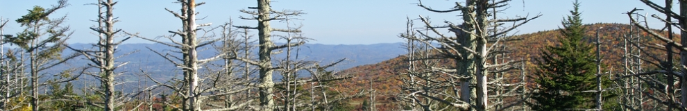
The current area of interest lies in the North of England, where the Bowland shale is overlain by a series of strata which in some locations can act as aquifers. Other intervening low permeability strata act barriers to water movement. However, this will vary greatly across the UK depending on the spatial relationships between potential shale gas rocks, water-bearing aquifers and other rock types.
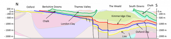
Cross-section from the Thames Valley
Resulting benefits
Understanding the potential risks to groundwater is an essential step in the design and approval process for shale gas exploitation.
The maps and data resources available through the iHydrogeology project will greatly assist regulators such as the Environment Agency to carry out an initial regional-scale screening of proposal from developers prior to more detailed assessments of specific shale gas projects. They will also enable better communication of issues to the public.
Future directions
BGS plans to refine these maps by better defining the volumes of the Principal Aquifer formations that are used for water supply and have other potential future use. These are typically the shallowest parts of the Principal Aquifer formations. In addition further information will be incorporated on where potentially prospective shale gas areas are located as it becomes available.
Add Pingback