


Tidal and Sea Level Data (BODC)
The British Oceanographic Data Centre (BODC) make quality-controlled National Tidal & Sea Level Facility (NTSLF) data series available online as soon as they are processed for sites around the whole UK.
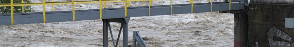
The UK National Tide Gauge Network was set up as a result of severe flooding along the east coast of England in 1953.
The network includes 43 gauges as illustrated in the map below, most of which are related through the national levelling network to Ordnance Datum Newlyn. The whole network is owned by the Environment Agency and maintained by the Tide Gauge Inspectorate at National Oceanography Centre (NOC) under contract to the Environment Agency. Data are collected, processed and archived centrally to provide long time series (please see the individual tide gauge data availability) of reliable and accurate sea levels.
Supply format: Comma delimited .txt
Data availability: Registration required (licence agreement provided at registration)
Charge: No charge.
Sample available: Immediate download (after registration)

 The Water Security Knowledge Exchange Portal supports the objectives of the